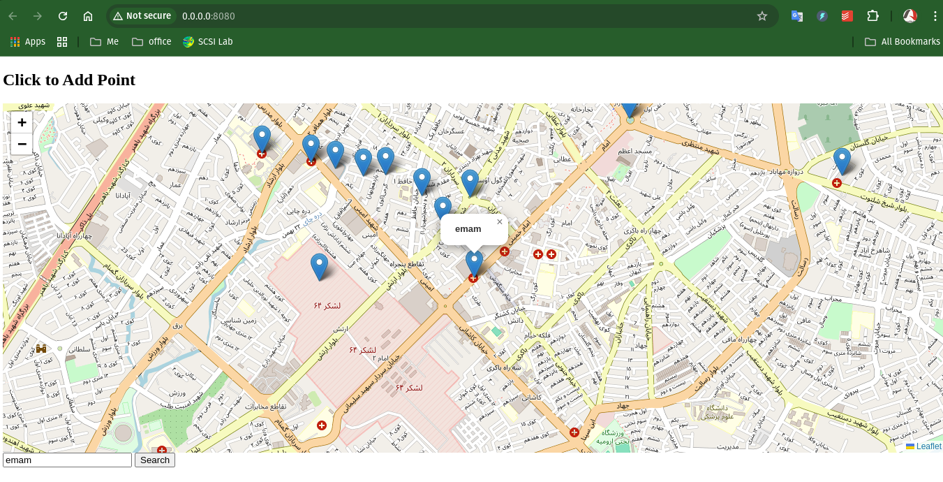
Skip to content
Araz Shah
  • Home
  • About me
  • Contact me
  • Online Courses
    • Apply Now !
    • In-Depth
    • Courses
      • Concepts
      • Python Course
      • GIS Developer Course
    • Price
  • Home
  • About me
  • Contact me
  • Online Courses
    • Apply Now !
    • In-Depth
    • Courses
      • Concepts
      • Python Course
      • GIS Developer Course
    • Price
Breakings
Geospatial Risk Assessment: A Python Approach
May 5, 2025
Analyzing Employee Arrival Patterns and Delays Using Geospatial Data
May 4, 2025
Real-Time GPS Tracking on a Web Map using FastAPI & Leaflet
February 17, 2025
How to Create a Simple WebGIS with FastAPI, PostGIS, and Leaflet.js
February 14, 2025
Graph Coloring: How Many Colors Do You Need?
February 12, 2025
10 Pythonic Examples to Write Cleaner and More Efficient Code
January 26, 2025
Generate Fake Data with Python’s Faker Library
January 19, 2025
Exploring Spatial Density with Python: KDE Analysis of Schools in Tehran
January 14, 2025
How to Analyze Walking Paths Between Metro Stations and Shopping Centers in Tehran Using Python
January 7, 2025
Comparing Geospatial Data Formats
January 5, 2025
Geospatial Risk Assessment: A Python Approach
Posted inGIS programming python Tutorials

Geospatial Risk Assessment: A Python Approach

Posted by By admin May 5, 2025Posted inGIS, programming, python, TutorialsTags: Assessment, Geospatial Risk, Risk
In today's data-driven world, understanding and mitigating risks through geospatial analysis has become crucial for…
Read More
Analyzing Employee Arrival Patterns and Delays Using Geospatial Data
Posted inGIS programming python Tutorials

Analyzing Employee Arrival Patterns and Delays Using Geospatial Data

Posted by By admin May 4, 2025Posted inGIS, programming, python, TutorialsTags: GIS, Human Resource, python, SpatialAnalysis
Introduction In this analysis, we explore employee work arrival patterns using geospatial data to understand…
Read More
Real-Time GPS Tracking on a Web Map using FastAPI & Leaflet
Posted inGIS programming python Tutorials

Real-Time GPS Tracking on a Web Map using FastAPI & Leaflet

Posted by By admin February 17, 2025Posted inGIS, programming, python, TutorialsTags: GIS, GPS, python, real-time, tracking, websocket
Introduction Tracking real-time location data is essential for applications like fleet management, asset tracking, and…
Read More
How to Create a Simple WebGIS with FastAPI, PostGIS, and Leaflet.js
Posted inGIS programming python Tutorials

How to Create a Simple WebGIS with FastAPI, PostGIS, and Leaflet.js

Posted by By admin February 14, 2025Posted inGIS, programming, python, TutorialsTags: FastAPI, Postgres, python, WebGIS
Introduction In this tutorial, we'll walk through creating a WebGIS application using FastAPI, PostGIS, and Leaflet.js. The goal is to…
Read More
Graph Coloring: How Many Colors Do You Need?
Posted inprogramming python Tutorials

Graph Coloring: How Many Colors Do You Need?

Posted by By admin February 12, 2025Posted inprogramming, python, TutorialsTags: Graph, Graph Coloring, Map Coloring
Introduction Graph coloring is a fundamental problem in graph theory with applications in map coloring,…
Read More
10 Pythonic Examples to Write Cleaner and More Efficient Code
Posted inprogramming python Tutorials

10 Pythonic Examples to Write Cleaner and More Efficient Code

Posted by By admin January 26, 2025Posted inprogramming, python, TutorialsTags: Programming, python, pythonic
Introduction Python is known for its simplicity and readability, but writing truly "Pythonic" code takes…
Read More
Generate Fake Data with Python’s Faker Library
Posted inprogramming python Tutorials

Generate Fake Data with Python’s Faker Library

Posted by By admin January 19, 2025Posted inprogramming, python, TutorialsTags: faker, generate data, python
Have you ever needed realistic-looking data for testing or demo purposes? Whether you're populating a…
Read More
Exploring Spatial Density with Python: KDE Analysis of Schools in Tehran
Posted inGIS programming python Tutorials

Exploring Spatial Density with Python: KDE Analysis of Schools in Tehran

Posted by By admin January 14, 2025Posted inGIS, programming, python, TutorialsTags: GIS, KernelDensityEstimation, OSMNx, SpatialAnalysis
Understanding the spatial distribution of facilities like schools is crucial for urban planning and decision-making.…
Read More
How to Analyze Walking Paths Between Metro Stations and Shopping Centers in Tehran Using Python
Posted inGIS programming python Tutorials

How to Analyze Walking Paths Between Metro Stations and Shopping Centers in Tehran Using Python

Posted by By admin January 7, 2025Posted inGIS, programming, python, TutorialsTags: Folium, GeoPandas, GIS, NetworkX, python, PythonGIS, SpatialAnalysis, UrbanPlanning, WalkingPaths
Introduction:With the increasing need for efficient urban planning and accessibility analysis, spatial data processing has…
Read More
Comparing Geospatial Data Formats
Posted inGIS programming python Tutorials

Comparing Geospatial Data Formats

Posted by By admin January 5, 2025Posted inGIS, programming, python, TutorialsTags: geojson, GeoParquet, GIS, python, shp
GeoParquet vs Shapefile vs GeoJSON When it comes to handling geospatial data, choosing the right…
Read More

Posts pagination

1 2 3 … 6 Next page

Recent Posts

  • Geospatial Risk Assessment: A Python Approach
  • Analyzing Employee Arrival Patterns and Delays Using Geospatial Data
  • Real-Time GPS Tracking on a Web Map using FastAPI & Leaflet
  • How to Create a Simple WebGIS with FastAPI, PostGIS, and Leaflet.js
  • Graph Coloring: How Many Colors Do You Need?

Archives

  • May 2025
  • February 2025
  • January 2025
  • December 2024
  • November 2024
  • September 2024
  • April 2024
  • March 2024
  • February 2024
  • December 2023
  • October 2023
  • September 2023
  • August 2023
  • April 2023

Categories

  • Courses
  • Events
  • GIS
  • Linux
  • News
  • programming
  • python
  • Tutorials
  • Videos
  • May 2025
  • February 2025
  • January 2025
  • December 2024
  • November 2024
  • September 2024
  • April 2024
  • March 2024
  • February 2024
  • December 2023
  • October 2023
  • September 2023
  • August 2023
  • April 2023
  • Courses
  • Events
  • GIS
  • Linux
  • News
  • programming
  • python
  • Tutorials
  • Videos

Araz Shahkarami

I’m a software enthusiast with a deep love for crafting robust and efficient solutions. My journey into the world of programming began several years ago when I was introduced to the world of code. Since then, I’ve been on an exhilarating ride of learning, problem-solving, and continuous improvement.

Copyright 2025 — Araz Shah. All rights reserved.
Scroll to Top