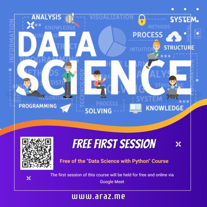
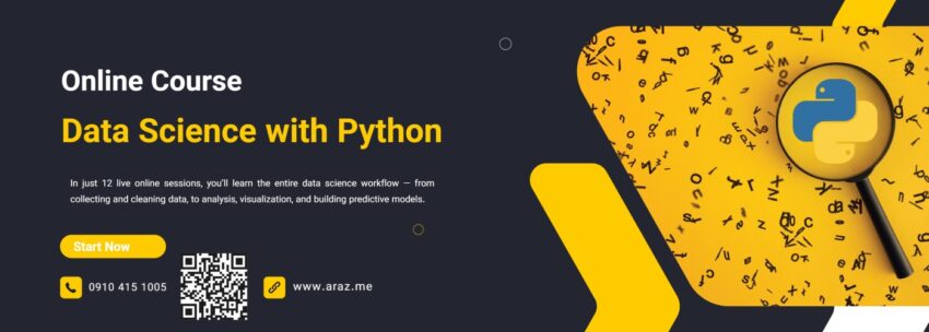
Posted inGIS programming python Tutorials Real-Time GPS Tracking on a Web Map using FastAPI & Leaflet Posted by By admin February 17, 2025Posted inGIS, programming, python, TutorialsTags: GIS, GPS, python, real-time, tracking, websocket Introduction Tracking real-time location data is essential for applications like fleet management, asset tracking, and…
Posted inGIS programming python Tutorials How to Create a Simple WebGIS with FastAPI, PostGIS, and Leaflet.js Posted by By admin February 14, 2025Posted inGIS, programming, python, TutorialsTags: FastAPI, Postgres, python, WebGIS Introduction In this tutorial, we'll walk through creating a WebGIS application using FastAPI, PostGIS, and Leaflet.js. The goal is to…
Posted inprogramming python Tutorials Graph Coloring: How Many Colors Do You Need? Posted by By admin February 12, 2025Posted inprogramming, python, TutorialsTags: Graph, Graph Coloring, Map Coloring Introduction Graph coloring is a fundamental problem in graph theory with applications in map coloring,…
Posted inprogramming python Tutorials 10 Pythonic Examples to Write Cleaner and More Efficient Code Posted by By admin January 26, 2025Posted inprogramming, python, TutorialsTags: Programming, python, pythonic Introduction Python is known for its simplicity and readability, but writing truly "Pythonic" code takes…
Posted inprogramming python Tutorials Generate Fake Data with Python’s Faker Library Posted by By admin January 19, 2025Posted inprogramming, python, TutorialsTags: faker, generate data, python Have you ever needed realistic-looking data for testing or demo purposes? Whether you're populating a…
Posted inGIS programming python Tutorials Exploring Spatial Density with Python: KDE Analysis of Schools in Tehran Posted by By admin January 14, 2025Posted inGIS, programming, python, TutorialsTags: GIS, KernelDensityEstimation, OSMNx, SpatialAnalysis Understanding the spatial distribution of facilities like schools is crucial for urban planning and decision-making.…
Posted inGIS programming python Tutorials How to Analyze Walking Paths Between Metro Stations and Shopping Centers in Tehran Using Python Posted by By admin January 7, 2025Posted inGIS, programming, python, TutorialsTags: Folium, GeoPandas, GIS, NetworkX, python, PythonGIS, SpatialAnalysis, UrbanPlanning, WalkingPaths Introduction:With the increasing need for efficient urban planning and accessibility analysis, spatial data processing has…
Posted inGIS programming python Tutorials Comparing Geospatial Data Formats Posted by By admin January 5, 2025Posted inGIS, programming, python, TutorialsTags: geojson, GeoParquet, GIS, python, shp GeoParquet vs Shapefile vs GeoJSON When it comes to handling geospatial data, choosing the right…
Posted inGIS programming python Tutorials Geofencing: A Powerful Tool for the Modern GIS Developer Posted by By admin January 4, 2025Posted inGIS, programming, python, TutorialsTags: GeoFencing, GIS, python Introduction In today’s interconnected world, geofencing has emerged as a groundbreaking technology that leverages geographic…