Introduction In today’s interconnected world, geofencing has emerged as a groundbreaking technology that leverages geographic information systems (GIS) to redefine how businesses and organizations interact with the world around them. For GIS developers, understanding geofencing is not just an added skill but a vital component in creating innovative and impactful solutions.
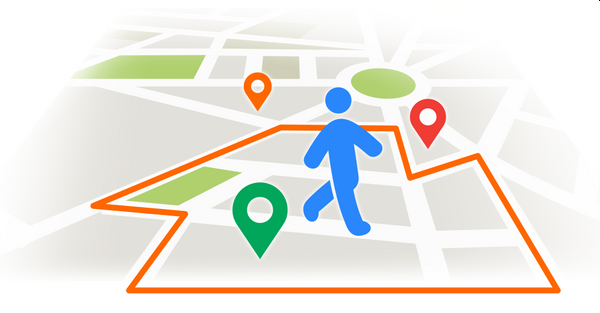
What is Geofencing? Geofencing is a location-based technology that uses GPS, RFID, Wi-Fi, or cellular data to create a virtual boundary around a specific geographic area. When a device or object enters or exits this boundary, a preprogrammed action is triggered. These actions can range from sending notifications to executing complex workflows.
Applications of Geofencing
- Marketing and Retail: Delivering targeted advertisements or promotions when potential customers enter a predefined area, such as a shopping mall or store.
- Fleet Management: Monitoring vehicles and ensuring they stay within designated routes or areas.
- Smart Cities: Managing urban infrastructure by automating services like street lighting and traffic control within defined zones.
- Security and Access Control: Enabling or restricting access to certain areas for personnel or devices.
The Role of GIS Developers in Geofencing GIS developers are at the core of designing and implementing geofencing solutions. Here’s how they contribute:
- Spatial Data Management: Developers curate and manage the spatial datasets required to define geofences accurately. This includes working with vector and raster data and integrating real-time location data.
- Custom Application Development: Whether it’s a mobile app for users or a web-based dashboard for administrators, GIS developers build tailored applications to utilize geofencing capabilities.
- Integration with IoT: Many geofencing applications involve IoT devices. GIS developers integrate these devices with geospatial systems to enable seamless operation.
- Performance Optimization: Developers ensure that geofencing operations, such as checking device locations against boundaries, are performed efficiently to handle large-scale applications.
Building Geofencing Solutions with GIS Tools Several tools and frameworks enable GIS developers to build geofencing solutions:
- PostGIS: Extend PostgreSQL with geospatial capabilities to store and query geofences.
- Leaflet and OpenLayers: Create interactive maps to visualize geofences and track device locations.
- Python Libraries: Utilize libraries like Geopandas, Shapely, and Fiona to process and analyze geospatial data.
- Cloud Platforms: Services like Google Maps API, Mapbox, and ArcGIS Online offer APIs for geofencing functionalities.
Real-World Example: Enhancing Event Management Imagine a large music festival with thousands of attendees. Using geofencing, organizers can:
- Send notifications about nearby stages or food stalls when attendees enter specific areas.
- Monitor crowd density and redirect people to less crowded zones for safety.
- Automate parking access and track vehicle movements within designated areas.
GIS developers make this possible by combining location-based technologies with user-friendly applications and backend systems.
Why Geofencing Matters for GIS Developers The demand for geofencing applications is growing rapidly across industries. By mastering geofencing, GIS developers can:
- Enhance their skill set and stay competitive in the job market.
- Develop cutting-edge solutions that blend technology with real-world needs.
- Contribute to diverse fields, from urban planning to retail and beyond.
Conclusion Geofencing represents an exciting intersection of GIS, technology, and innovation. For GIS developers, it’s an opportunity to lead the charge in transforming how location-based data is used in the modern world. By diving into the world of geofencing, you can unlock a realm of possibilities and take your GIS development career to new heights.
Call to Action Are you ready to explore the potential of geofencing in your GIS projects? Join our GIS Developer Course and learn how to create impactful geofencing applications from scratch. Let’s build the future of location-based solutions together!

