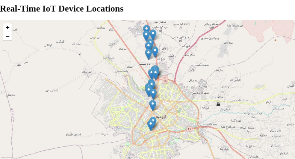
Introduction Tracking real-time location data is essential for applications like fleet management, asset tracking, and live location sharing. In this tutorial, we will build a real-time GPS tracking system that receives location data from a moving device and displays it dynamically on a web map. What You’ll Learn By the end of this tutorial, you’ll…
Month: February 2025
How to Create a Simple WebGIS with FastAPI, PostGIS, and Leaflet.js
Introduction In this tutorial, we’ll walk through creating a WebGIS application using FastAPI, PostGIS, and Leaflet.js. The goal is to create a map that displays points stored in a PostGIS database and allows users to add new points by clicking on the map. We’ll cover setting up the FastAPI backend, creating the PostGIS database, and developing the frontend with Leaflet.js…
Graph Coloring: How Many Colors Do You Need?
Introduction Graph coloring is a fundamental problem in graph theory with applications in map coloring, scheduling, register allocation in compilers, and network design. The key question we explore in this tutorial is: What is the minimum number of colors needed to color a map (or network) so that no two adjacent regions (or connected nodes)…