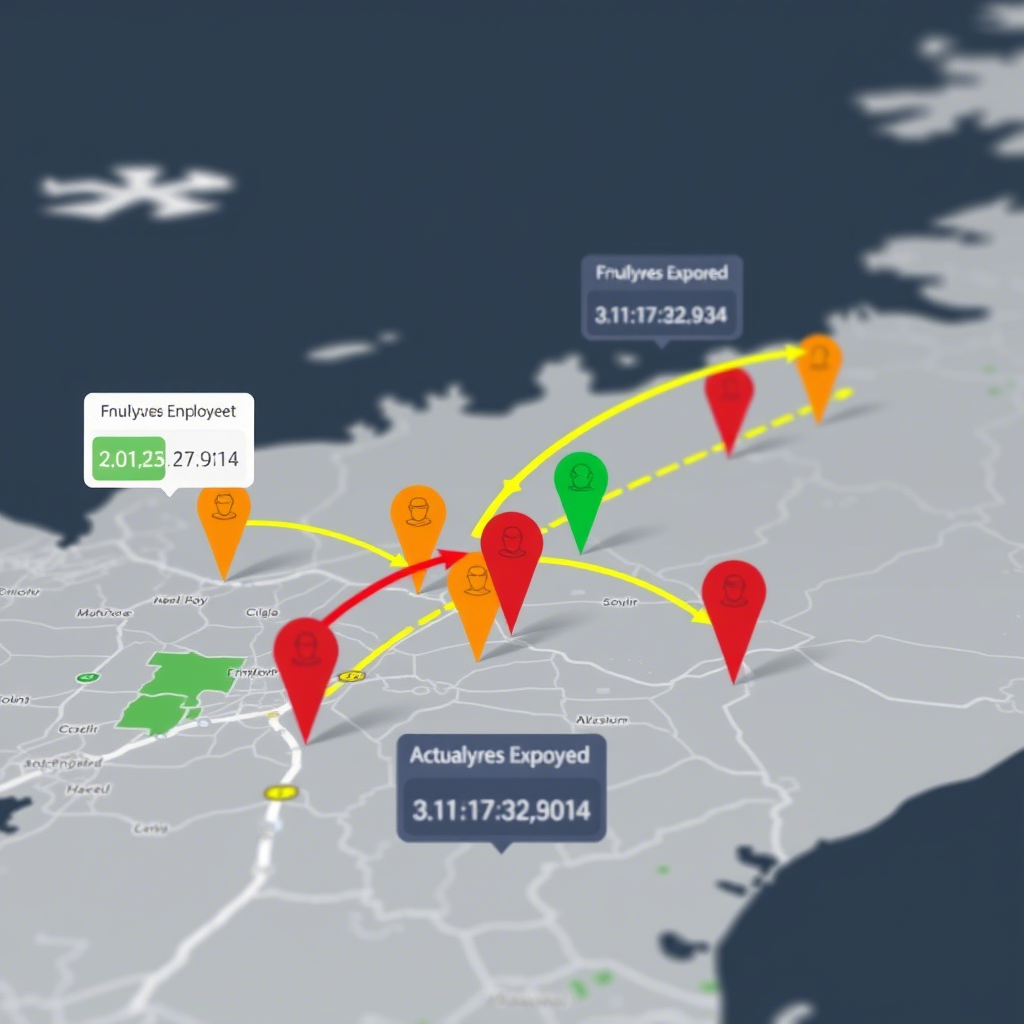
In today’s data-driven world, understanding and mitigating risks through geospatial analysis has become crucial for industries ranging from insurance to urban planning. In this post, we’ll explore a Python implementation for geospatial risk assessment based on a GitHub repository that demonstrates these concepts. Understanding the Project Structure The repository contains a well-organized src directory with the following…
Month: May 2025
Analyzing Employee Arrival Patterns and Delays Using Geospatial Data
Introduction In this analysis, we explore employee work arrival patterns using geospatial data to understand delays and their relationship with distance from the workplace. The dataset includes employee IDs, arrival times, expected arrival times, and geographic locations. Key Findings 1. Data Preparation and Merging We started by merging two datasets: 2. Calculating Delays We converted…