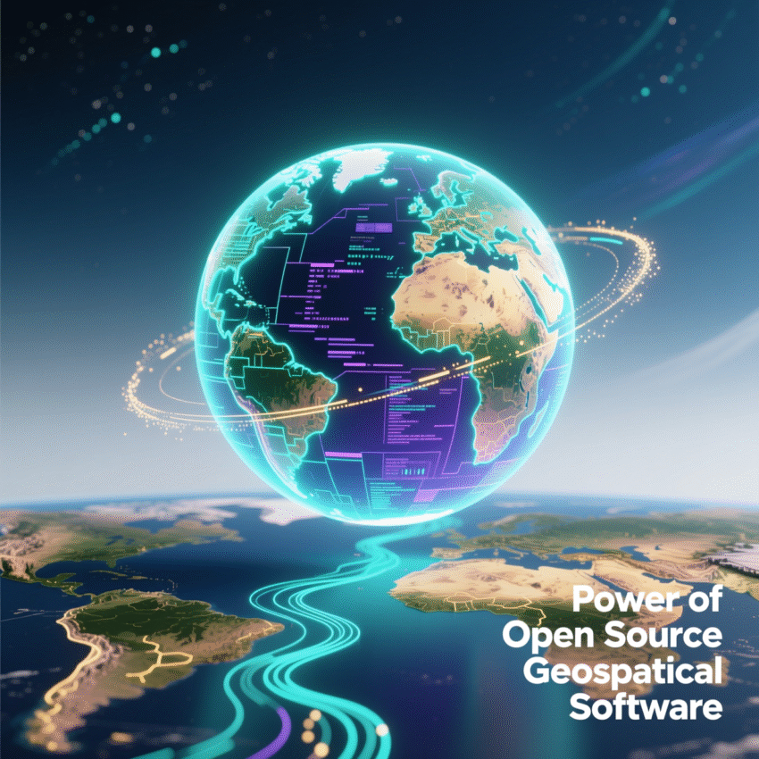
In the world of mapping and location intelligence, a revolution has been quietly building for decades. It’s a movement that challenges the dominance of expensive, proprietary software and empowers developers, analysts, and organizations to take full control of their spatial data.
This movement is FOSS4G.
If you are a GIS professional, a developer, or a data scientist, you’ve likely heard this acronym thrown around. But what exactly does it mean, and why should you care?
Breaking Down the Acronym
FOSS4G stands for Free and Open Source Software for Geospatial.
Let’s break it down further:
- Free: This refers to “freedom” (liberty), not just price. While most FOSS4G software is free of cost, the core philosophy is that you have the freedom to run, copy, distribute, study, change, and improve the software.
- Open Source: The source code is available to everyone. You aren’t staring at a “black box.” You can see exactly how an algorithm calculates a distance or projects a coordinate.
- Geospatial: Tools designed specifically to handle location data (maps, satellite imagery, GPS coordinates, spatial analysis).
The FOSS4G Stack: The Essential Tools
Unlike proprietary ecosystems (like the ESRI suite) where one vendor provides everything, FOSS4G is a collection of modular tools that work together seamlessly using open standards.
Here is the typical “Modern GIS Stack”:
1. The Database (Storage)
PostGIS is the king here. It is an extension for the PostgreSQL database that turns it into a spatial powerhouse. It allows you to run complex queries (e.g., “Find all customers within a 5km radius of this store”) directly inside the database with blazing speed.
2. The Core Library (Translation)
GDAL (Geospatial Data Abstraction Library) is the invisible engine behind almost every GIS software in the world (even the commercial ones!). It reads and writes hundreds of raster and vector data formats.
3. The Server (Middleware)
GeoServer and MapServer allow you to publish your data to the web. They take data from your database and serve it as standard web services (WMS, WFS) that web browsers can understand.
4. The Desktop (Analysis & Cartography)
QGIS is the flagship of FOSS4G. It is a user-friendly desktop application that rivals ArcGIS Pro. It connects to PostGIS, allows for beautiful cartography, and supports Python scripting (PyQGIS) for automation.
5. The Web Client (Visualization)
Libraries like Leaflet, OpenLayers, and MapLibre allow developers to build interactive maps in web browsers to display data served by GeoServer or vector tiles.
Why Choose FOSS4G?
1. Cost Efficiency
There are no licensing fees. For startups or large organizations scaling up, this saves thousands (or millions) of dollars annually. You pay for training and support, not for the right to use the software.
2. Interoperability & Standards
FOSS4G tools are built on OGC (Open Geospatial Consortium) standards. This means they play nicely with others. You aren’t locked into a specific vendor’s file format.
3. Innovation and Flexibility
Need a specific feature that doesn’t exist? In open source, you can build it yourself or hire someone to build it. You don’t have to wait for a vendor’s next annual release.
4. Community Support
The FOSS4G community is supported by the OSGeo (Open Source Geospatial Foundation). It is one of the most vibrant, helpful, and intelligent communities in the tech world. If you have a problem, someone has likely already solved it.
FOSS4G is Also a Conference
It is worth noting that FOSS4G is also the name of the annual global conference hosted by OSGeo. It is the gathering place for the tribes of QGIS, PostGIS, and GeoServer developers to share ideas and shape the future of the industry.
Conclusion
FOSS4G is no longer just an “alternative” to proprietary software; in many areas, it is the industry standard. From accurate area calculations in PostGIS to building modern web maps with React and Leaflet, the open-source stack offers the tools you need to build robust, scalable, and cost-effective geospatial solutions.
Ready to dive in? Start by downloading QGIS and installing PostgreSQL/PostGIS. The map is yours to draw.