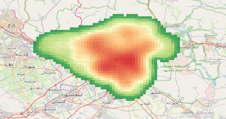
Understanding the spatial distribution of facilities like schools is crucial for urban planning and decision-making. In this post, we’ll walk you through how to use Python to perform a Kernel Density Estimation (KDE) analysis and visualize the results interactively. Why Kernel Density Estimation? KDE is a statistical method used to estimate the probability density function…
Year: 2025
How to Analyze Walking Paths Between Metro Stations and Shopping Centers in Tehran Using Python
Introduction:With the increasing need for efficient urban planning and accessibility analysis, spatial data processing has become more vital than ever. In this blog post, I’ll guide you through analyzing walking paths between metro stations and shopping centers in Tehran using Python’s robust geospatial libraries like OSMnx, GeoPandas, Folium, Shapely, and NetworkX. By the end, you’ll…
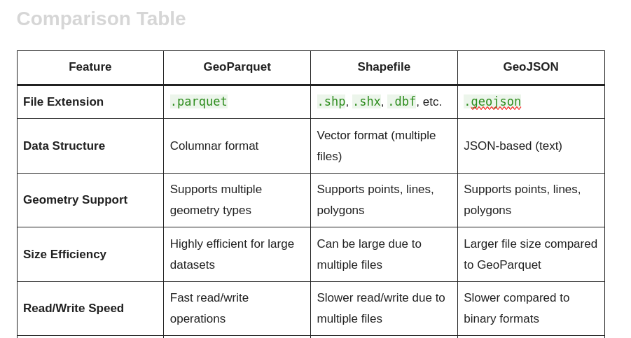
Comparing Geospatial Data Formats
GeoParquet vs Shapefile vs GeoJSON When it comes to handling geospatial data, choosing the right format is crucial for performance, compatibility, and usability. In this blog post, we will compare three popular geospatial data formats: GeoParquet, Shapefile, and GeoJSON. Each format has its strengths and weaknesses, making them suitable for different use cases. Below is…
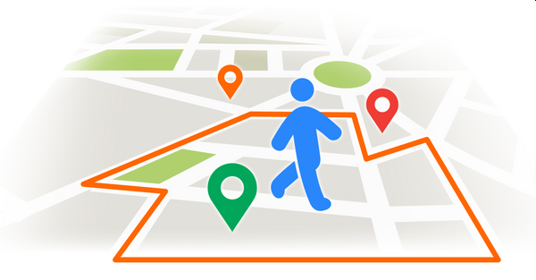
Geofencing: A Powerful Tool for the Modern GIS Developer
Introduction In today’s interconnected world, geofencing has emerged as a groundbreaking technology that leverages geographic information systems (GIS) to redefine how businesses and organizations interact with the world around them. For GIS developers, understanding geofencing is not just an added skill but a vital component in creating innovative and impactful solutions. What is Geofencing? Geofencing…


