For decades, Google has been at the forefront of studying the geospatial world, covering everything from maps and trends to weather, floods, and wildfires. This extensive information has been made accessible through AI models and real-time services. However, a significant challenge has always been synthesizing information across these diverse models and combining a user’s own data with Google’s vast datasets, which can be both complex and expensive.
This is where Geospatial Reasoning comes in, a groundbreaking innovation designed to overcome these hurdles.
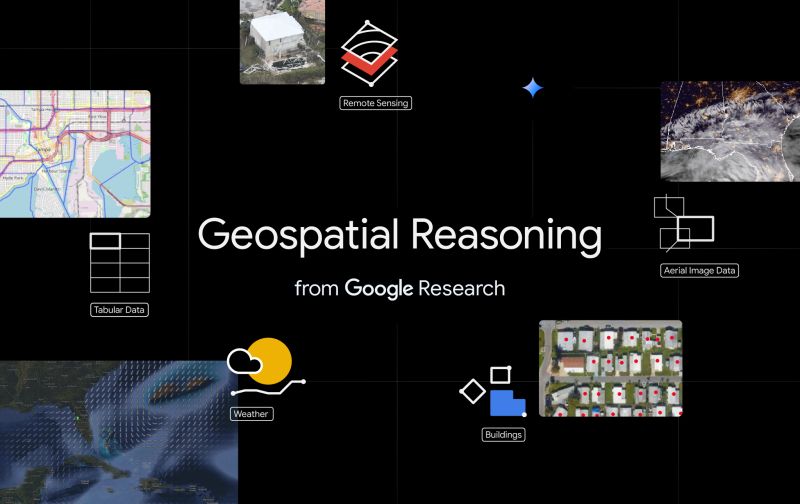
What is Geospatial Reasoning?
Geospatial Reasoning allows you to bring your own data and models together with Google’s powerful geospatial tools for much easier analysis. The core of this capability lies in Gemini’s advanced reasoning ability.
How Does it Work?
Instead of manual, cumbersome processes, Gemini’s reasoning ability enables Geospatial Reasoning to:
- Plan and enact a custom program.
- Search over data efficiently.
- Gather inferences from multiple models, drawing comprehensive insights.
All of this is accessible through a simple conversational interface, making complex analysis remarkably intuitive.
Powerful Applications Across Diverse Fields
The potential of Geospatial Reasoning is immense, offering a critical tool for advancing various sectors:
- Public health: Gaining deeper insights into health trends and patterns.
- Climate resilience: Enhancing our ability to understand and respond to environmental challenges like floods and wildfires.
- Commercial applications: Unlocking new opportunities and efficiencies for businesses.
- And much more: The possibilities extend across countless other domains.
Geospatial Reasoning represents a significant step forward, inviting us to “think bigger, together” in leveraging geospatial data for powerful insights.