In the world of mapping and location intelligence, a revolution has been quietly building for decades. It’s a movement that challenges the dominance of expensive, proprietary software and empowers developers, analysts, and organizations to take full control of their spatial data. This movement is FOSS4G. If you are a GIS professional, a developer, or a…
Tutorials
Data Science with Python – Live, Project-Based Online Course
Data Science with Python – Live, Project-Based Online Course Unlock the power of data with our comprehensive Data Science with Python course!In just 12 live online sessions, you’ll learn the entire data science workflow — from collecting and cleaning data, to analysis, visualization, and building predictive models. Based on the renowned book Data Science Essentials…
Geospatial Risk Assessment: A Python Approach
In today’s data-driven world, understanding and mitigating risks through geospatial analysis has become crucial for industries ranging from insurance to urban planning. In this post, we’ll explore a Python implementation for geospatial risk assessment based on a GitHub repository that demonstrates these concepts. Understanding the Project Structure The repository contains a well-organized src directory with the following…
Analyzing Employee Arrival Patterns and Delays Using Geospatial Data
Introduction In this analysis, we explore employee work arrival patterns using geospatial data to understand delays and their relationship with distance from the workplace. The dataset includes employee IDs, arrival times, expected arrival times, and geographic locations. Key Findings 1. Data Preparation and Merging We started by merging two datasets: 2. Calculating Delays We converted…
Real-Time GPS Tracking on a Web Map using FastAPI & Leaflet
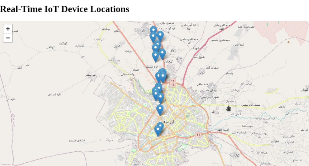
Introduction Tracking real-time location data is essential for applications like fleet management, asset tracking, and live location sharing. In this tutorial, we will build a real-time GPS tracking system that receives location data from a moving device and displays it dynamically on a web map. What You’ll Learn By the end of this tutorial, you’ll…
How to Create a Simple WebGIS with FastAPI, PostGIS, and Leaflet.js
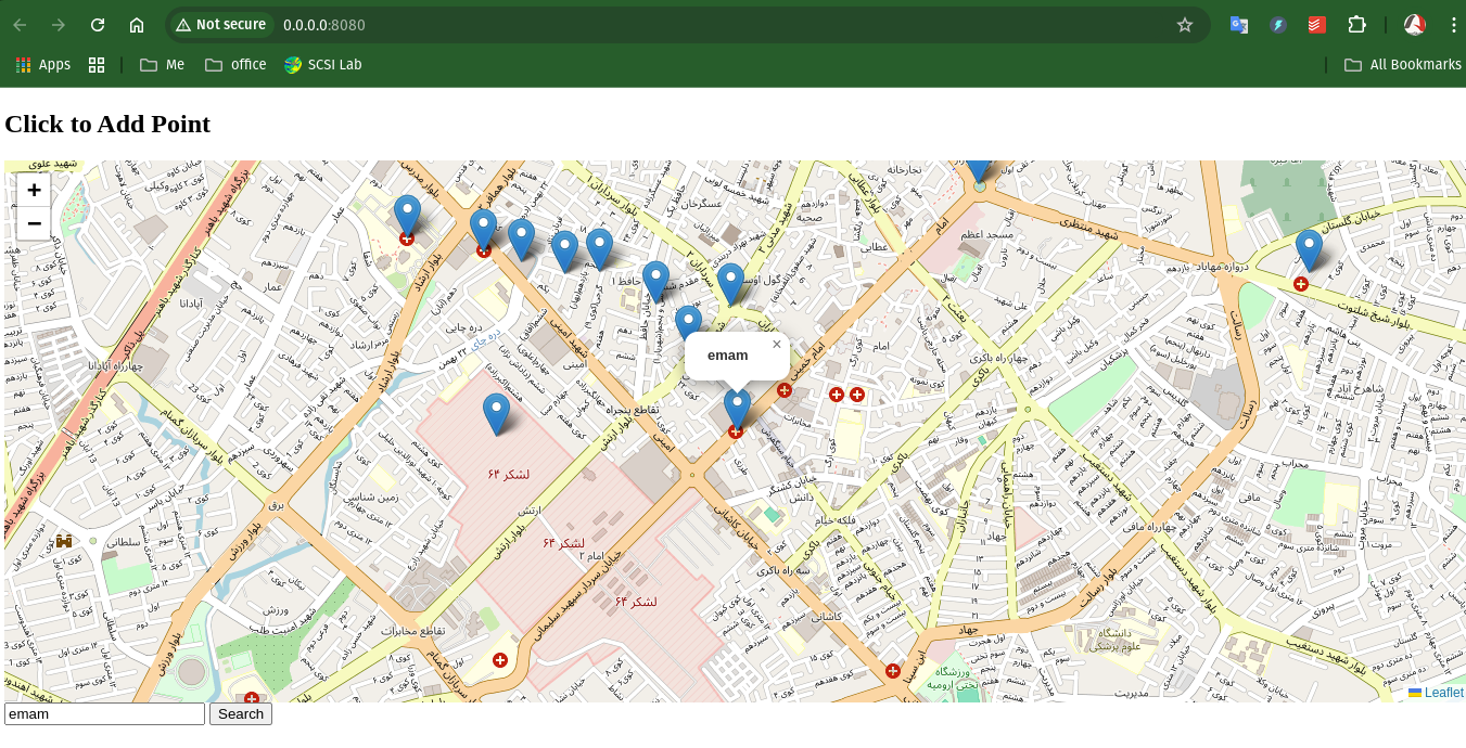
Introduction In this tutorial, we’ll walk through creating a WebGIS application using FastAPI, PostGIS, and Leaflet.js. The goal is to create a map that displays points stored in a PostGIS database and allows users to add new points by clicking on the map. We’ll cover setting up the FastAPI backend, creating the PostGIS database, and developing the frontend with Leaflet.js…
Graph Coloring: How Many Colors Do You Need?
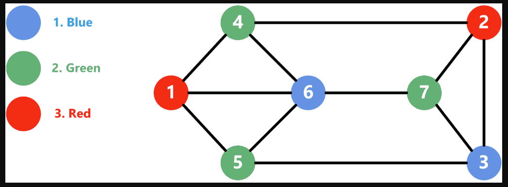
Introduction Graph coloring is a fundamental problem in graph theory with applications in map coloring, scheduling, register allocation in compilers, and network design. The key question we explore in this tutorial is: What is the minimum number of colors needed to color a map (or network) so that no two adjacent regions (or connected nodes)…
10 Pythonic Examples to Write Cleaner and More Efficient Code
Introduction Python is known for its simplicity and readability, but writing truly “Pythonic” code takes your skills to the next level. Pythonic code adheres to the language’s idioms and best practices, making it more readable, efficient, and maintainable. In this blog post, we’ll explore 10 practical examples of Pythonic code that will help you write cleaner and…
Generate Fake Data with Python’s Faker Library
Have you ever needed realistic-looking data for testing or demo purposes? Whether you’re populating a database, creating mock APIs, or testing forms, the faker library in Python is your go-to tool. In this post, we’ll explore the faker library, covering installation, usage, and customization to supercharge your projects. What is Faker? faker is a Python…
Exploring Spatial Density with Python: KDE Analysis of Schools in Tehran
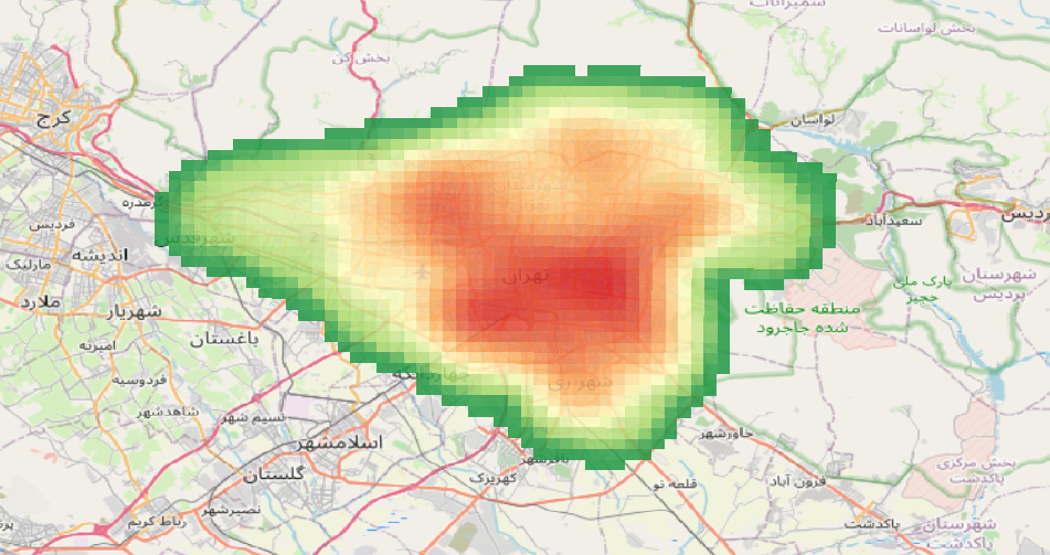
Understanding the spatial distribution of facilities like schools is crucial for urban planning and decision-making. In this post, we’ll walk you through how to use Python to perform a Kernel Density Estimation (KDE) analysis and visualize the results interactively. Why Kernel Density Estimation? KDE is a statistical method used to estimate the probability density function…

