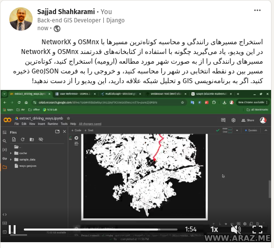
This tutorial provides a step-by-step guide to extracting and visualizing driving paths in a specified location using Python’s OSMnx and NetworkX libraries. Learn how to compute the shortest paths between points, convert graph data into geospatial formats, and export the results as GeoJSON files for further analysis. Tutorial Content: Introduction Working with geospatial data is…


