Skip to content
Araz Shah
Menu
  • Home
  • About me
  • Contact me
  • CV
  • Online Courses
    • Apply Now !
    • In-Depth
    • Courses
      • Concepts
      • Python Course
      • GIS Developer Course
      • Data Science with Python
    • Price
Menu

Tag: python

Analyzing Employee Arrival Patterns and Delays Using Geospatial Data

Posted on May 4, 2025 by admin

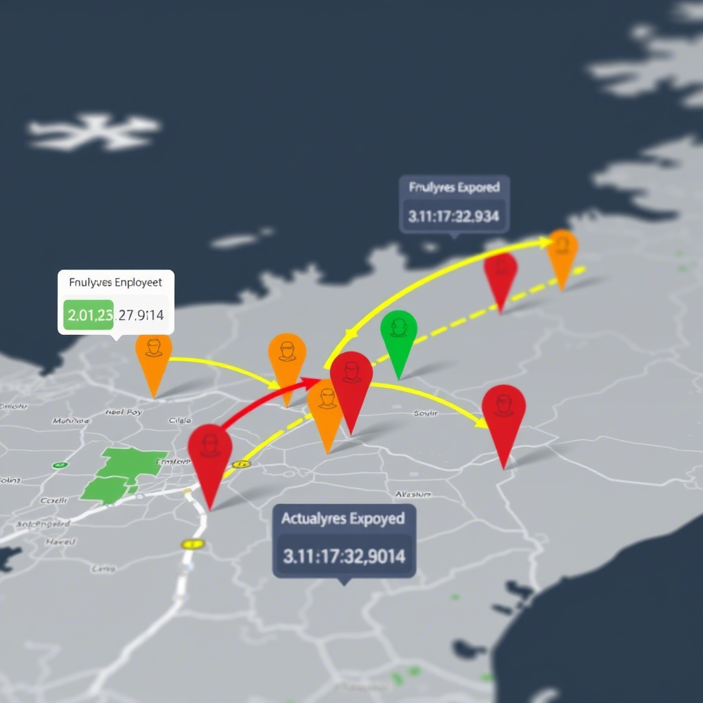
Introduction In this analysis, we explore employee work arrival patterns using geospatial data to understand delays and their relationship with distance from the workplace. The dataset includes employee IDs, arrival times, expected arrival times, and geographic locations. Key Findings 1. Data Preparation and Merging We started by merging two datasets: 2. Calculating Delays We converted…

Read more

Real-Time GPS Tracking on a Web Map using FastAPI & Leaflet

Posted on February 17, 2025February 17, 2025 by admin

Introduction Tracking real-time location data is essential for applications like fleet management, asset tracking, and live location sharing. In this tutorial, we will build a real-time GPS tracking system that receives location data from a moving device and displays it dynamically on a web map. What You’ll Learn By the end of this tutorial, you’ll…

Read more

How to Create a Simple WebGIS with FastAPI, PostGIS, and Leaflet.js

Posted on February 14, 2025 by admin

Introduction In this tutorial, we’ll walk through creating a WebGIS application using FastAPI, PostGIS, and Leaflet.js. The goal is to create a map that displays points stored in a PostGIS database and allows users to add new points by clicking on the map. We’ll cover setting up the FastAPI backend, creating the PostGIS database, and developing the frontend with Leaflet.js…

Read more

10 Pythonic Examples to Write Cleaner and More Efficient Code

Posted on January 26, 2025January 26, 2025 by admin

Introduction Python is known for its simplicity and readability, but writing truly “Pythonic” code takes your skills to the next level. Pythonic code adheres to the language’s idioms and best practices, making it more readable, efficient, and maintainable. In this blog post, we’ll explore 10 practical examples of Pythonic code that will help you write cleaner and…

Read more

Generate Fake Data with Python’s Faker Library

Posted on January 19, 2025 by admin

Have you ever needed realistic-looking data for testing or demo purposes? Whether you’re populating a database, creating mock APIs, or testing forms, the faker library in Python is your go-to tool. In this post, we’ll explore the faker library, covering installation, usage, and customization to supercharge your projects. What is Faker? faker is a Python…

Read more

How to Analyze Walking Paths Between Metro Stations and Shopping Centers in Tehran Using Python

Posted on January 7, 2025January 7, 2025 by admin

Introduction:With the increasing need for efficient urban planning and accessibility analysis, spatial data processing has become more vital than ever. In this blog post, I’ll guide you through analyzing walking paths between metro stations and shopping centers in Tehran using Python’s robust geospatial libraries like OSMnx, GeoPandas, Folium, Shapely, and NetworkX. By the end, you’ll…

Read more

Comparing Geospatial Data Formats

Posted on January 5, 2025January 5, 2025 by admin

GeoParquet vs Shapefile vs GeoJSON When it comes to handling geospatial data, choosing the right format is crucial for performance, compatibility, and usability. In this blog post, we will compare three popular geospatial data formats: GeoParquet, Shapefile, and GeoJSON. Each format has its strengths and weaknesses, making them suitable for different use cases. Below is…

Read more

Geofencing: A Powerful Tool for the Modern GIS Developer

Posted on January 4, 2025January 4, 2025 by admin

Introduction In today’s interconnected world, geofencing has emerged as a groundbreaking technology that leverages geographic information systems (GIS) to redefine how businesses and organizations interact with the world around them. For GIS developers, understanding geofencing is not just an added skill but a vital component in creating innovative and impactful solutions. What is Geofencing? Geofencing…

Read more

Extracting and Visualizing Driving Ways with OSMnx and NetworkX in Python

Posted on December 30, 2024December 30, 2024 by admin

This tutorial provides a step-by-step guide to extracting and visualizing driving paths in a specified location using Python’s OSMnx and NetworkX libraries. Learn how to compute the shortest paths between points, convert graph data into geospatial formats, and export the results as GeoJSON files for further analysis. Tutorial Content: Introduction Working with geospatial data is…

Read more

Building Footprint Processor: Simplify GIS Data Processing with Python!

Posted on December 29, 2024December 29, 2024 by admin

Easily Process Building Data for GIS Projects! In this video, I introduce you to the Building Footprint Processor, a powerful Python library that makes downloading and processing building footprint data simple and efficient. Whether you’re a GIS developer, urban planner, or researcher, this tool is perfect for extracting geospatial data for any area of interest…

Read more
  • 1
  • 2
  • 3
  • 4
  • Next

Recent Posts

  • What is FOSS4G? Unlocking the Power of Open Source Geospatial Software
  • Data Science with Python – Live, Project-Based Online Course
  • Unlocking Insights: How Geospatial Reasoning Revolutionizes Data Analysis with AI
  • Geospatial Risk Assessment: A Python Approach
  • Analyzing Employee Arrival Patterns and Delays Using Geospatial Data

Archives

  • November 2025
  • August 2025
  • May 2025
  • February 2025
  • January 2025
  • December 2024
  • November 2024
  • September 2024
  • April 2024
  • March 2024
  • February 2024
  • December 2023
  • October 2023
  • September 2023
  • August 2023
  • April 2023

Categories

  • Courses
  • Events
  • GIS
  • Linux
  • News
  • programming
  • python
  • Tutorials
  • Videos
  • November 2025
  • August 2025
  • May 2025
  • February 2025
  • January 2025
  • December 2024
  • November 2024
  • September 2024
  • April 2024
  • March 2024
  • February 2024
  • December 2023
  • October 2023
  • September 2023
  • August 2023
  • April 2023
  • Courses
  • Events
  • GIS
  • Linux
  • News
  • programming
  • python
  • Tutorials
  • Videos

Araz Shahkarami

I’m a software enthusiast with a deep love for crafting robust and efficient solutions. My journey into the world of programming began several years ago when I was introduced to the world of code. Since then, I’ve been on an exhilarating ride of learning, problem-solving, and continuous improvement.

© 2025 Araz Shah | Powered by Minimalist Blog WordPress Theme