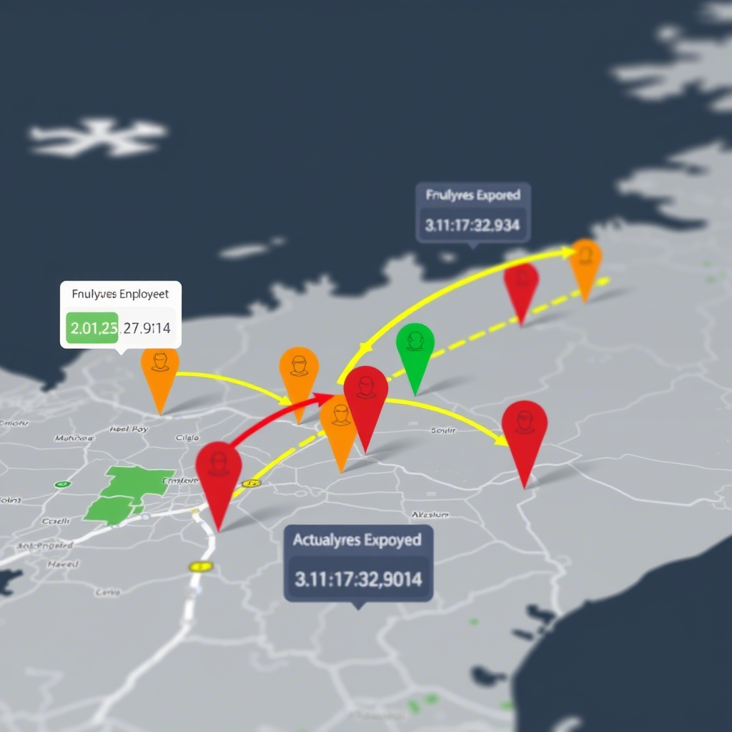
Introduction In this analysis, we explore employee work arrival patterns using geospatial data to understand delays and their relationship with distance from the workplace. The dataset includes employee IDs, arrival times, expected arrival times, and geographic locations. Key Findings 1. Data Preparation and Merging We started by merging two datasets: 2. Calculating Delays We converted…
Tag: SpatialAnalysis
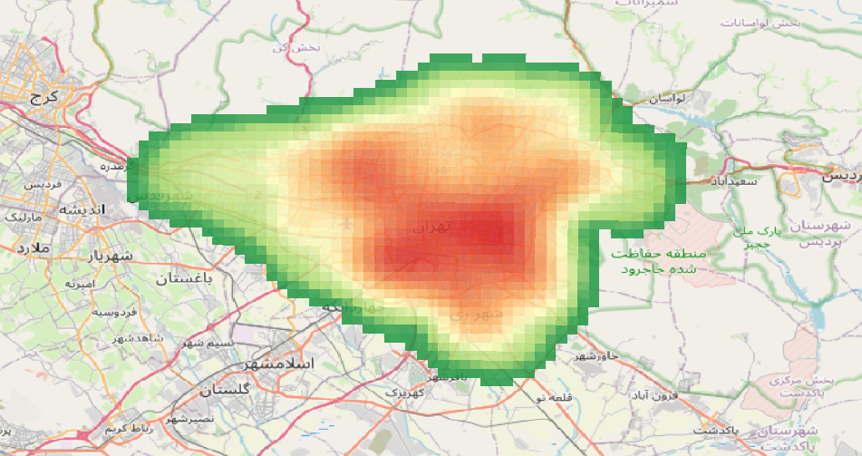
Exploring Spatial Density with Python: KDE Analysis of Schools in Tehran
Understanding the spatial distribution of facilities like schools is crucial for urban planning and decision-making. In this post, we’ll walk you through how to use Python to perform a Kernel Density Estimation (KDE) analysis and visualize the results interactively. Why Kernel Density Estimation? KDE is a statistical method used to estimate the probability density function…
How to Analyze Walking Paths Between Metro Stations and Shopping Centers in Tehran Using Python
Introduction:With the increasing need for efficient urban planning and accessibility analysis, spatial data processing has become more vital than ever. In this blog post, I’ll guide you through analyzing walking paths between metro stations and shopping centers in Tehran using Python’s robust geospatial libraries like OSMnx, GeoPandas, Folium, Shapely, and NetworkX. By the end, you’ll…


